School Enrollment
& Mitigation

NYMTC Long Term Demographic & Socioeconomic Forecasting, 2000-2035, 2055 Update
Location
New York Metropolitan Area
Client
New York State Department of Transportation
Project Lead
Urbanomics
Services
Forecasting/Modeling
Geospatial Analysis
Economics
Socioeconomics

BSE Global/RXR
Image Credit:
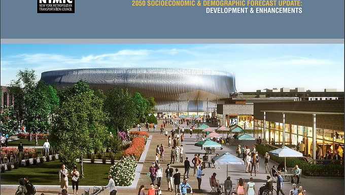
Serving as prime contractor to the New York State Department of Transportation for the 2002-2030 and 2010-2035 forecast series, Urbanomics prepared long-term demographic and socioeconomic forecasts for the New York Metropolitan Transportation Council (NYMTC), the official metropolitan planning organization for New York City and its suburban counties. Because of widespread commutation, the forecasts were extended beyond the NYMTC territory to include the entire 31-county metropolitan region and are cross accepted by all state and local agencies in the region for purposes of assuring that all long term transportation investments receiving federal transportation funding are guided by the same projections of growth and distribution in population, employment, labor force, households, income and housing needs.
In advance of a complete land use model and a uniform zoning code for the 28-county, tri-state region, Urbanomics developed an interim model for determining land suitable for development using ESRI's ArcGIS ModelBuilder and Spatial Analyst extensions for the distribution of county-level socioeconomic forecasts. Eight raster analysis models were created for NYC and seven suburban counties, reflecting both existing and planned environmental determinants for either fostering or restricting growth. Also added to this framework is the understanding that there are man-made restrictions and incentives on land development that come in the form of policy and planning initiatives, such as special preservation districts. Inputs to the models varied by availability and included, but were not limited to: zoning, historical town centers, proximity to rail hubs, protected parks and recreation areas (federal, state, county and local), wetlands, historic districts, agricultural districts, and vacant land.
Urbanomics is currently preparing the the 2015-2055 Demographic and Socioeconomic Forecast series with WSP Global and New York City Department of City Planning, expected to be finalized in 2020.